Bay Area Backcountry: Isabel Valley
|
|
| Up |
|
Overview720 or so acres, following Penitencia Creek from the Mount Hamilton Range to the valley floor. Not a place for camping. Parking is limited - the best way in is by bike or on foot. |
Activities
Hiking
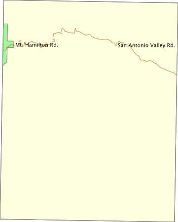
Getting ThereFollow Mt. Hamilton Road eastward (head for the observatory) out of San Jose - it passes through the park. USGS 7.5' Topo Maps
Isabel Valley
Further InformationLinks |