Bay Area Backcountry: Mount Sizer
|
|
| Up |
|
OverviewThe road to Henry Coe is long, twisty, and narrow, but the reward is reaching 80,000 acres of barely touched wilderness. On weekdays, it is possible to have the park all to yourself, while on weekends the parking lot is crowded with the cars of mountain bikers (excellent trails for biking, by the way). Even when the lot is full, the population density in the park is still low. Backpacking requires checking in at the ranger station. Open fires are usually prohibited. All of the camping areas are near water (streams, lakes, or springs) - filtering the water is advised - but many of the streams run dry during summer. Very steep in spots. No bridges across the creeks - they can be difficult to ford during springtime, especially while wearing a pack. |
Activities
Hiking
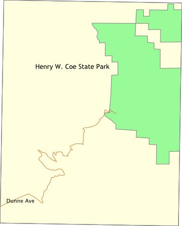
Getting ThereFrom Highway 101, follow East Dunne Ave. eastward out of Morgan Hill. Keep going. Go some more. You're not there yet. It's just around that next corner... USGS 7.5' Topo Maps
Pacheco Peak
Further Information
Henry W. Coe State Park
Links
Mapquest.com Map
|