Bay Area Backcountry: San Francisco North
|
|
| Up |
|
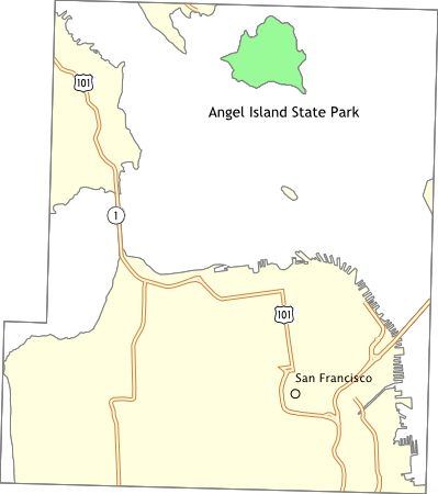
OverviewAngel Island is out in the middle of San Francisco Bay . Camping there is well worth it - you stand a strong chance of sharing the island with only a dozen or so other people, none of them within eyeshot. For day travellers, there are nice roads for cycling, bike and kayak rentals, a coffee shop, and a mini-mountain to climb. There are nine environmental sites. Potable water is available at each site. The last ferry off the island leaves at 4:30pm - after that you may have the place to yourself. Reserve a campsite well in advance. A weather note: think of Angel Island as a cold version of San Francisco. Bring warm clothing - lots of warm clothing if you will camp. |
Activities
Hiking
Getting ThereThe only way onto the island is by ferry - board the ferry at Fisherman's Wharf, Tiburon, or Vallejo. Tiburon is the cheapest choice, expect around $10 for Fisherman's Wharf or Vallejo, and $7 for Tiburon. The ferry ticket includes admission to the park. USGS 7.5' Topo MapsFurther InformationLinks |