Bay Area Backcountry: Cupertino
|
|
| Up |
|
OverviewCastle Rock straddles the ridge line of the Santa Cruz Mountains. From some spots one can see the ocean, and from others Santa Clara valley. There are 23 miles of trails through many distinct environments. This is not a major camping spot, although there are a few rustic sites. Primarily Castle Rock is a starting point for the Skyline-to-the-Sea Trail . The park is also a major site for rock climbers. The rustic sites have potable water. No reservations are accepted, nor are they needed. There have been thefts from cars and parking in the lot might help (if there are rangers on duty). The lot is open from sunrise to sunset. |
Activities
Hiking
Getting ThereThe main parking lot is two or three miles south of Highway 9 on Skyline Boulevard. USGS 7.5' Topo Maps
Big Basin
Further Information
Castle Rock State Park
Links |
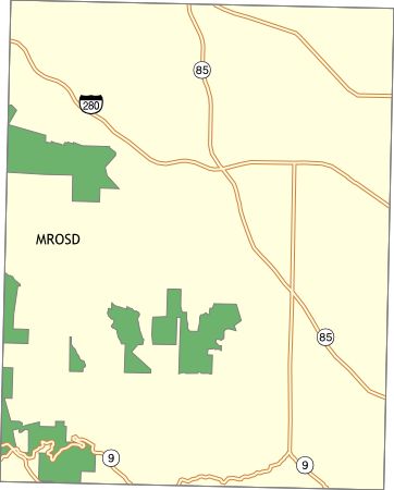
OverviewThe Midpeninsula Regional Open Space District maintains a large amount of open land from Santa Clara County to San Mateo County. Most of their preserves are open for hiking between sunrise and sunset. Some of the preserves have equestrian access. One offers campsites for backpacking. Their web site is well organized and simply gorgeous. |
Activities
Hiking
Getting ThereUSGS 7.5' Topo Maps
Loma Prieta
Further InformationLinks |