Bay Area Backcountry: Ano Nuevo
|
|
| Up |
|
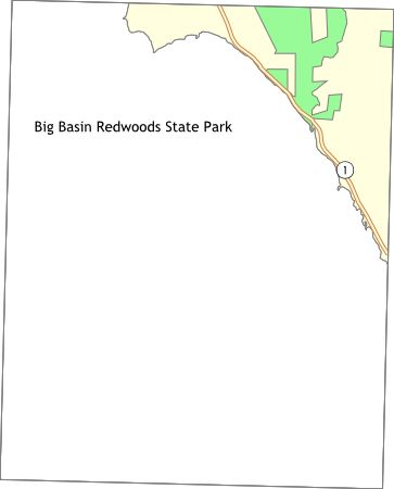
OverviewBig Basin has 19,000 acres of first-growth redwood forests. Nice temperatures all year round. Very wet early in the year. There is no potable water at any of the trail-camps. The streams are polluted by nearby civilization, so boil, filter, or treat all water before consumption. The Skyline-to-the-Sea Trail runs through Big Basin - you can follow it uphill to Castle Rock State Park or downhill to the Rancho del Oso nature center near Highway 1. Reservations are accepted for campsites, and a permit must be obtained from the Ranger's Station before camping at the trail sites. |
Activities
Backpacking
Getting ThereFrom highway 17, take Mt. Hermon Road west from Scott's Valley to Felton. Then follow highway 9 to highway 236. Highway 236 leads into the park. USGS 7.5' Topo Maps
Davenport
Further Information
Big Basin Redwoods State Park
Links
Mapquest.com Map
|