Bay Area Backcountry: Clayton
|
|
| Up |
|
OverviewNot a good place for backpacking, but there are many sites for car camping. Often closed during the summer due to high fire danger, and sometimes snowed in during the winter. The road goes right to the top of the mountain. Horses are allowed on trails. There are two horse campgrounds - both have water and are accessible by trailer. |
Activities
Hiking
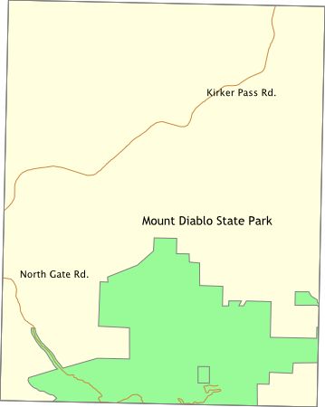
Getting ThereMt. Diablo is due east from Walnut Creek. From highway 680, use the Treat Blvd./Geary Rd. exit and head east on Treat Blvd. Turn right on Oak Grove Road. A few blocks past Ygnacio Valley Road there are signs to the park entrance. (Further thanks to Jonathan Suite for the improved directions). USGS 7.5' Topo MapsFurther Information
Mount Diablo State Park
Links |