Bay Area Backcountry: La Costa Valley
|
|
| Up |
|
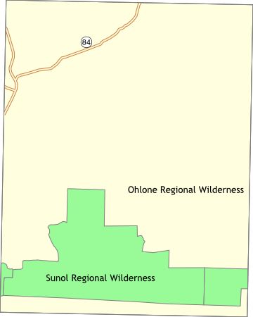
OverviewPart of the East Bay Regional Park District - this is the western end of the Ohlone Trail. |
Activities
Backpacking
Getting ThereUSGS 7.5' Topo MapsFurther Information
East Bay Regional Park District
Links |
OverviewThis is wilderness. Water is scarce, and in summer can be non-existent. For a short visit, approach from Del Valle Regional Park then head for Murietta Falls. The trail to the falls is extremely steep - probably rivals Henry W. Coe for steepest trail - but the trip is worthwhile. Backcountry permit required. |
Activities
Hiking
Getting ThereWalk from Del Valle Park or Sunol Regional Wilderness Area via the Ohlone Wilderness Trail. USGS 7.5' Topo Maps
Mendenhall Springs
Further Information
East Bay Regional Park District
Links |
OverviewThis is wilderness. Follow the Ohlone Wilderness Trail to either Del Valle Regional Park or Mission Peak Regional Park . Within the wilderness, check out Little Yosemite - a small valley which is almost exactly unlike Yosemite. There is a very small campground with water and toilets, plus a trail camp for backcountry camping. Reservations are required in advance. |
Activities
Backpacking
Getting ThereUSGS 7.5' Topo MapsFurther Information
2950 Peralta Oaks Court
Links
Mapquest.com Map
|