Bay Area Backcountry: Soquel
|
|
| Up |
|
OverviewThe Forest of Nisene Marks is a marvelous second growth forest - it was logged heavily in the 1800s, but has since recovered completely. The forest today is heavy with redwood and madrone, with an undergrowth of ferns and poison oak. With 9600 acres, there is always plenty of land to explore. The 1989 Loma Prieta earthquake was centered in this park. Follow the Big Slide Trail 'til you find some large cracks in the ground - you won't be at the center, but you will be close. It is possible to walk or bike to Uvas Canyon County Park and Mount Madonna County Park from the Forest of Nisene Marks. There is one trail camp, Westridge Trail Camp, six miles in from the parking lot. Reservations are required. No open fires are allowed - only backpacking stoves can be used. There is a restroom at the trail camp. Open from dawn to dusk for day hikers. Open all the time for campers. Reservations required for the Westridge Trail Camp. They are available from Sunset Beach State Park at (408) 763-7063. |
Activities
Hiking
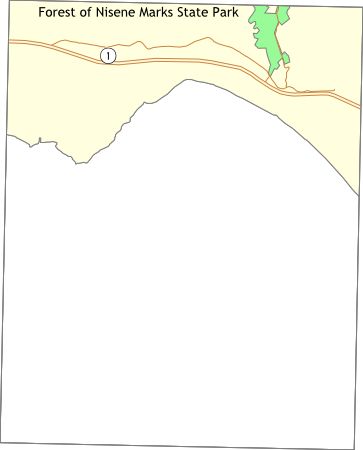
Getting ThereFrom Highway 1 in Aptos, take the State Park Road exit to the north. Turn right (eastward) on Soquel Road. Drive under a railroad bridge then look for Aptos Creek Road on the left. The sign is small, so pay attention. There is a parking area right after the turn on Aptos Creek Road. You can park there for free and walk in to the forest, or continue on Aptos Creek Road, pay $3.00, then park back near the trail heads. Bicyclists tend to park at the free lot. USGS 7.5' Topo MapsFurther Information
The Forest of Nisene Marks
Links |