Bay Area Backcountry: Mt Carmel
|
|
| Up |
|
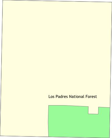
OverviewTwo million acres - none of it developed. Standard National Forest rules apply - first come first served for camping, no rangers, lots of open land. |
Activities
Backpacking
Getting ThereHead south on Highway 1 to Big Sur. USGS 7.5' Topo Maps
Burnett Peak
Further InformationLinks |