Bay Area Backcountry: North Chalone Peak
|
|
| Up |
|
OverviewThe Pinnacles are one half of the core of an extinct volcano. The other half is in Southern California. (Can you guess where a major fault line runs? I knew you could). The core intruded into softer rock, which has since largely eroded leaving the core exposed to view. Springtime is the best time to visit - the temperature is still nice and wildflowers are in bloom. There is a private campground (408 389-4462) just outside of the eastern entrance. The eastern entrance provides convenient access to a nice cave, while the western entrance is best for exploring the pinnacles themselves. There are two caves, not much as caves go but this part of California is largely cave-free, so you have to take what you can get. One cave is very short - perhaps one hundred feet, and the other is about a quarter of a mile long. Neither ever get completely dark, but flashlights are still required. Watch for frogs and bats in the cave. |
Activities
Hiking
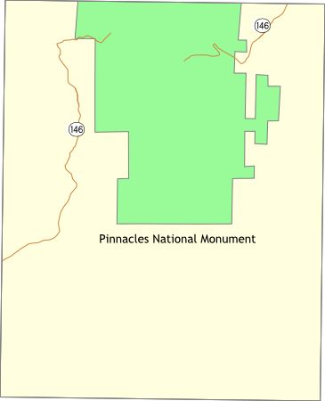
Getting ThereFor the west entrance use highway 146 from Soledad, on highway 101. For the east entrance, use highway 146 from highway 25, about 15 miles south of Paicines, or 20 miles south of Hollister. USGS 7.5' Topo Maps
North Chalone Peak
Further Information
Superintendent
Links |