
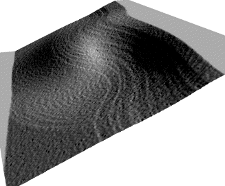
This is a typical image which defines a terrain, and a 3-d version of the same terrain:
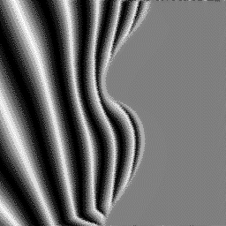
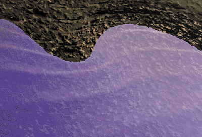
Waves World uses the terrain to produce the following image:
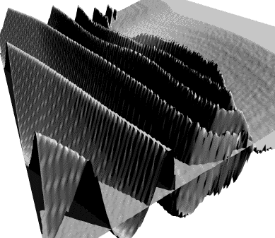
The two images can be combined with KPT Bryce to produce the following image. The height-maps have not yet been scaled.
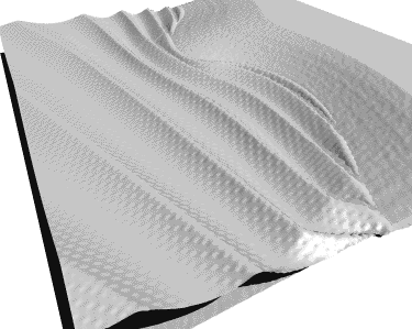
After some adjustments to the vertical scale and position of each height-map, this is the result:
The next step is to apply some materials and adjust the point of view. This attempt is artless, but it suffices for a demo:
Created by Mark L. Hessenflow
E-Mail: bab@hknot.com
San José
28. March 1996